Product: Inertial Navigation System (INS) and Global Positioning System (GPS)
Key Features:
Conclusion: Choosing between INS and GPS depends on specific needs, with many applications benefiting from their integration for optimal navigation solutions.
For complex vehicles such as airplanes, autonomous vehicles, ships, spacecraft, submarines, and UAVs, having an accurate system to maintain and control perfect movement is essential. Two of the most prominent navigation systems in use today are the Inertial Navigation System (INS) and the Global Positioning System (GPS). Both have their unique advantages and applications, but choosing the best system for your needs depends on several factors. This article will explore the differences, strengths, and ideal use cases for each system to help you make an informed decision.
The MEMS north finder can provide heading information to the moving body in a fully autonomous manner, working without relying on satellites, not affected by climate, and not requiring complex operations. It not only provides the data output interface for the computer, but also provides a good man-machine interface.
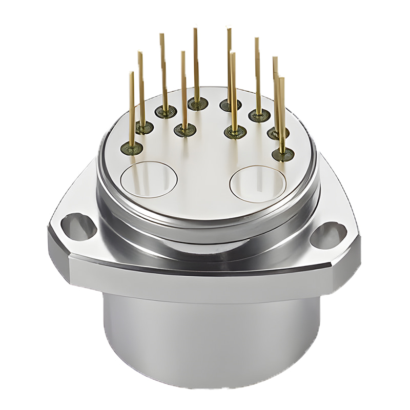
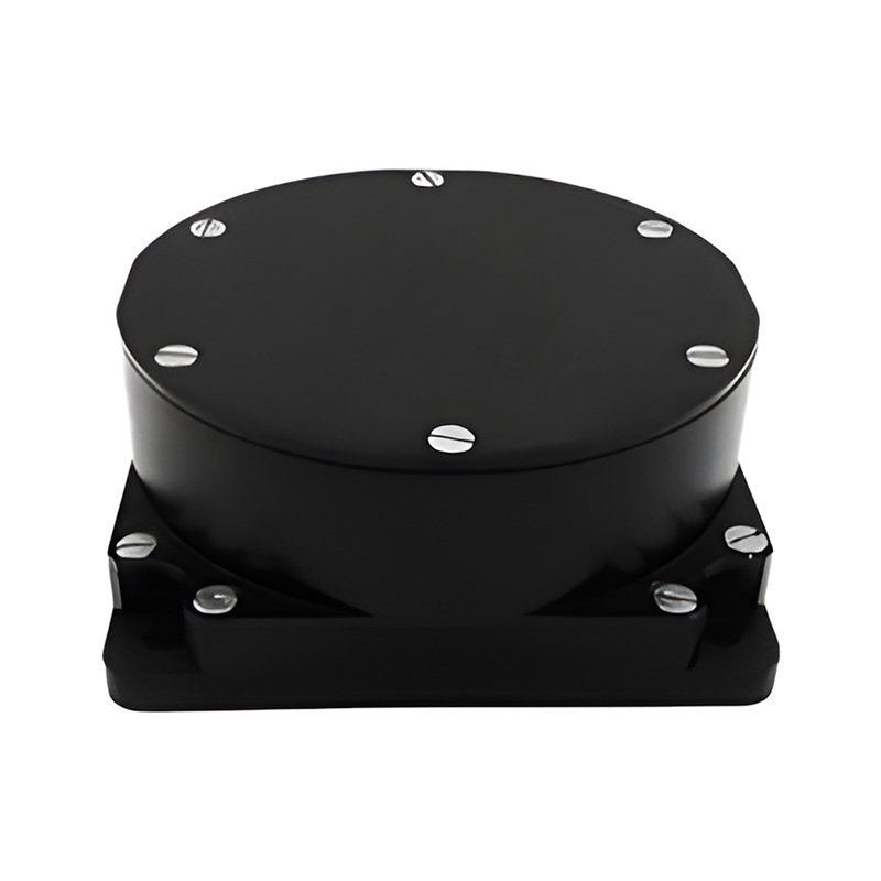
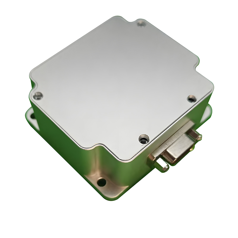
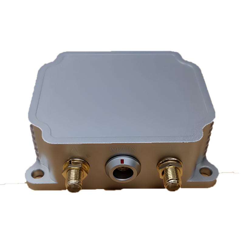
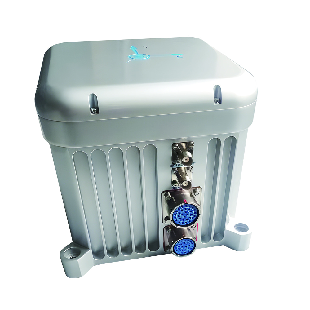
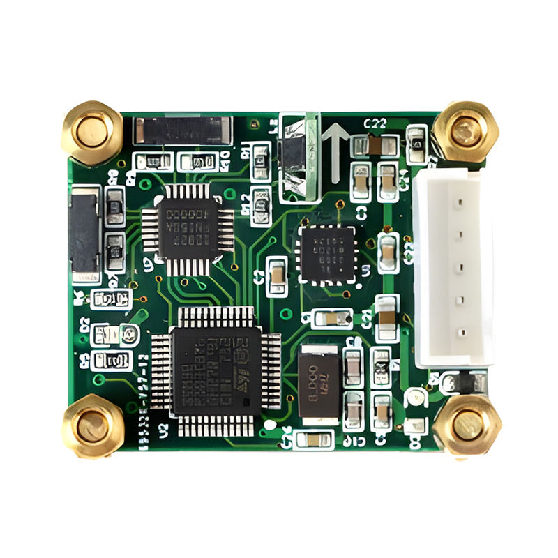
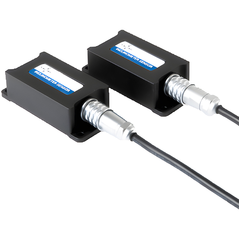
The MEMS North finder is mainly composed of the inertial measurement module (IMU) and the line part, and the hardware block diagram is shown in Figure 1. Inertial measurement unit (IMU) is composed of gyroscope and rotary mechanism. The circuit part is mainly composed of four circuit boards, including: power board, control board, power amplifier board and base plate. Table 1 shows the components of the north seeking system.
The Global Positioning System is a satellite-based navigation system that provides geolocation and time information to a GPS receiver anywhere on or near the Earth where there is an unobstructed line of sight to four or more GPS satellites. GPS is highly accurate and provides continuous positioning information, making it ideal for a wide range of applications, from personal navigation to military operations. However, GPS signals can be obstructed by buildings, trees, or atmospheric conditions, leading to potential inaccuracies.
GPS technology is primarily used for location data, mapping, tracking moving objects, navigation, and timing estimations and measurements. However, this information relies on satellite connections, and if the GPS device cannot connect to at least four satellites, the data provided will be insufficient for full operational functionality.
Independence: Does not rely on external signals, making it useful in GPS-denied environments.
Instantaneous Response: Provides immediate updates on position and velocity.
Robustness: Less susceptible to jamming or signal interference.
Drift: Accumulated errors can lead to inaccuracies over time.
Complexity: Generally more complex and expensive than GPS systems.

Fig.2 Pros And Cons Of Ins And Gnss
Accuracy: Provides precise location information, often within a few meters.
Coverage: Global coverage with continuous updates.
Ease of Use: Widely available and relatively inexpensive.
Signal Dependency: Requires a clear line of sight to satellites, which can be obstructed.
Vulnerability: Susceptible to jamming, spoofing, and interference.
In many applications, INS and GPS are used together to leverage their complementary strengths. By integrating GPS data with INS, the system can correct for INS drift and provide more reliable and accurate navigation. This combination is particularly valuable in aviation, where continuous and precise navigation is critical, and in autonomous vehicles, where robust and accurate positioning is essential for safe operation.
With the rapid development of micro-electromechanical systems (MEMS), smaller and more portable GPS-aided integrated navigation systems have been developed, such as Micro-Magic Inc‘s three models with different accuracy levels. Among them, the ultra-high precision I6600 surveying and tactical-grade system is equipped with a powerful IMU, capable of outputting highly accurate position, velocity, and attitude information.
Choosing between INS and GPS depends on your specific needs and the environment in which you will be operating. If you require a system that is independent of external signals and can function in challenging environments, INS may be the best choice. However, if you need highly accurate, continuous positioning information with global coverage, GPS is likely the better option. For many applications, combining both systems can provide the optimal solution, ensuring reliability and precision in navigation.
By understanding the strengths and limitations of each system, you can make an informed decision and select the navigation system that best meets your requirements.

Xml Privacy Policy Blog Sitemap
copyright @ Micro-Magic Inc All Rights Reserved.
 Network Supported


 English