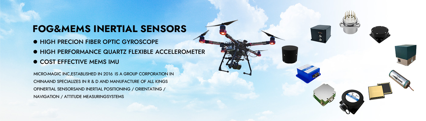
MEMS Integrated Navigation System GNSS INS for UAV Drone Positioning and Attitude Measurement
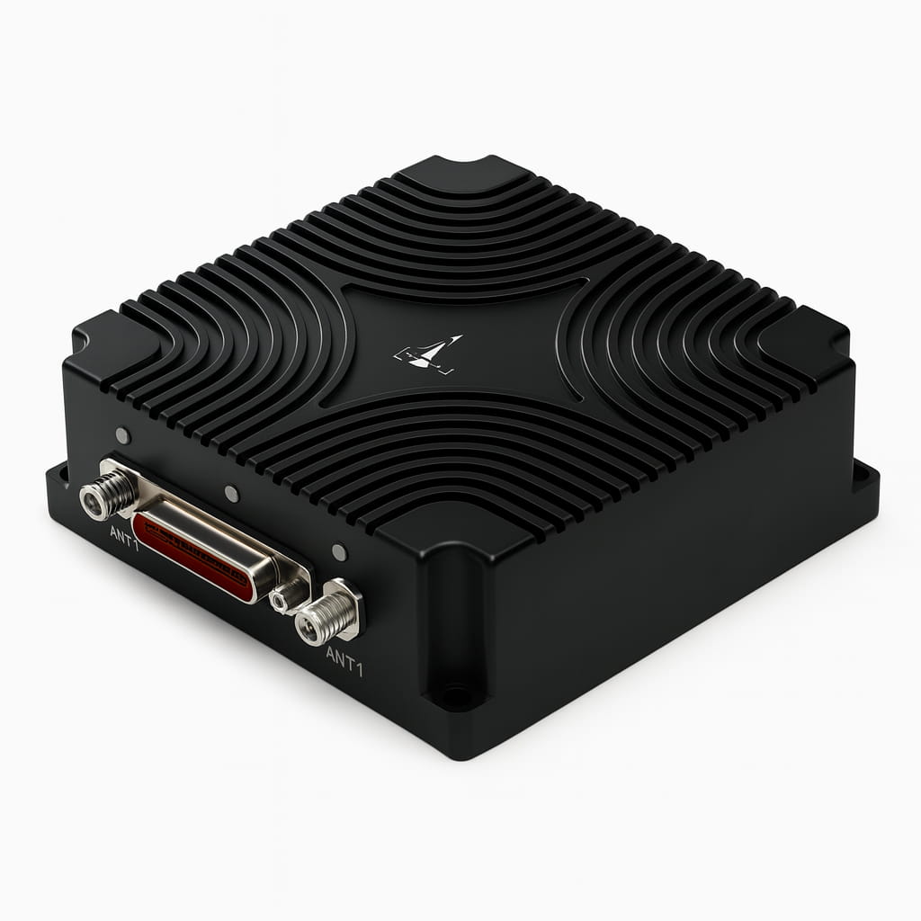
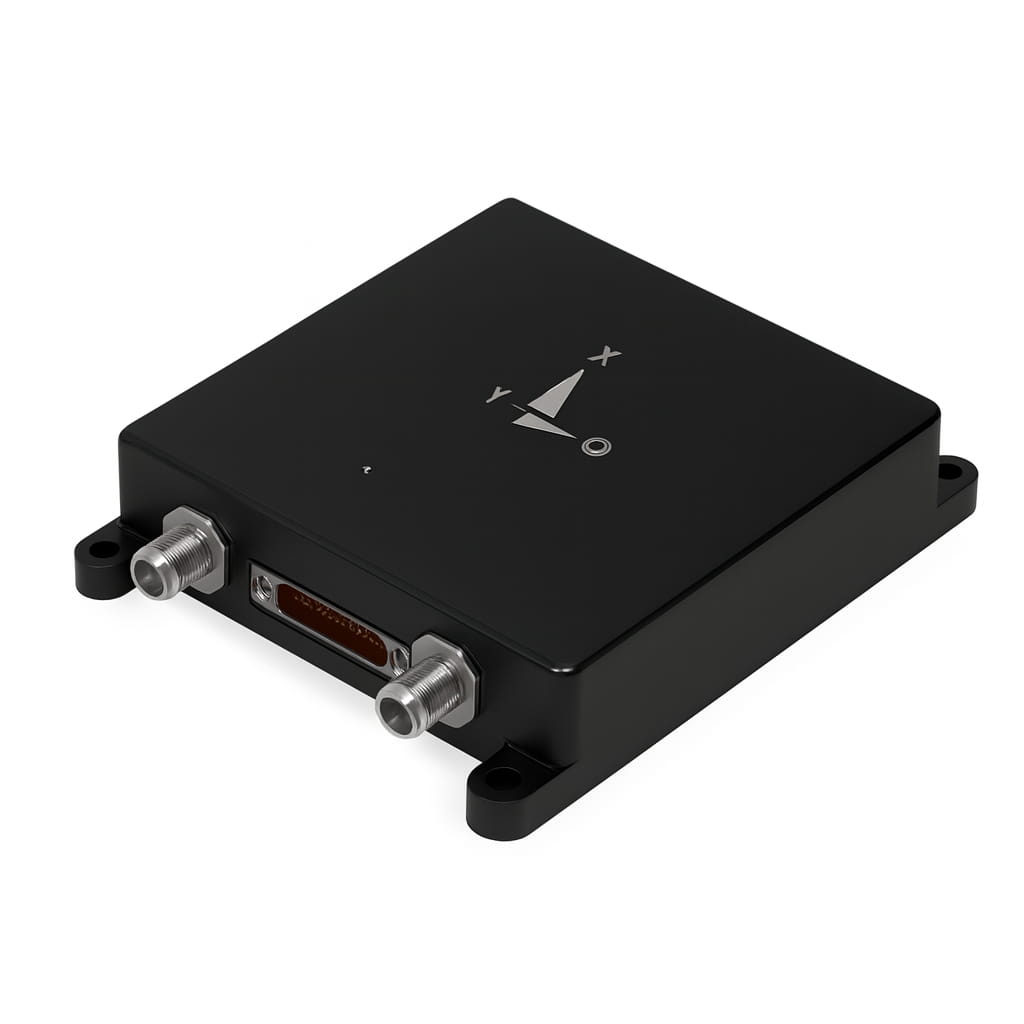
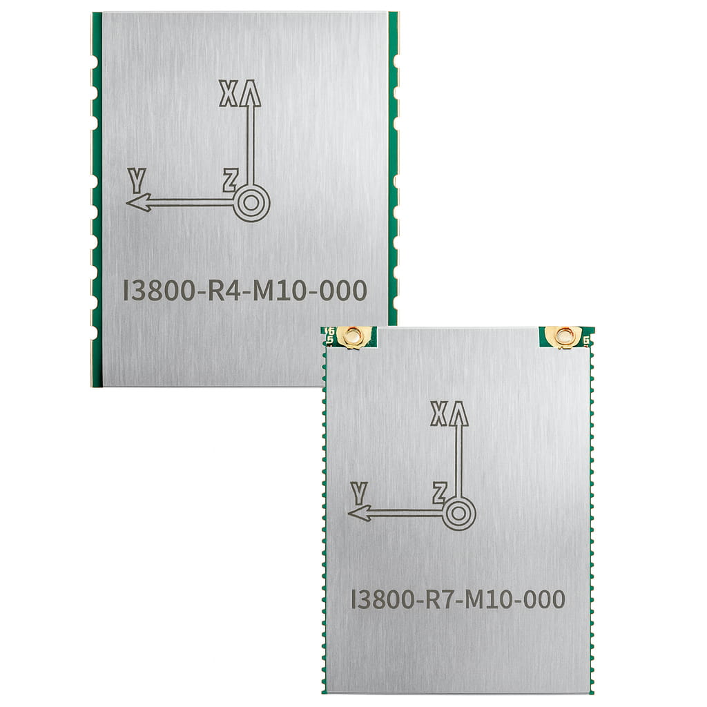
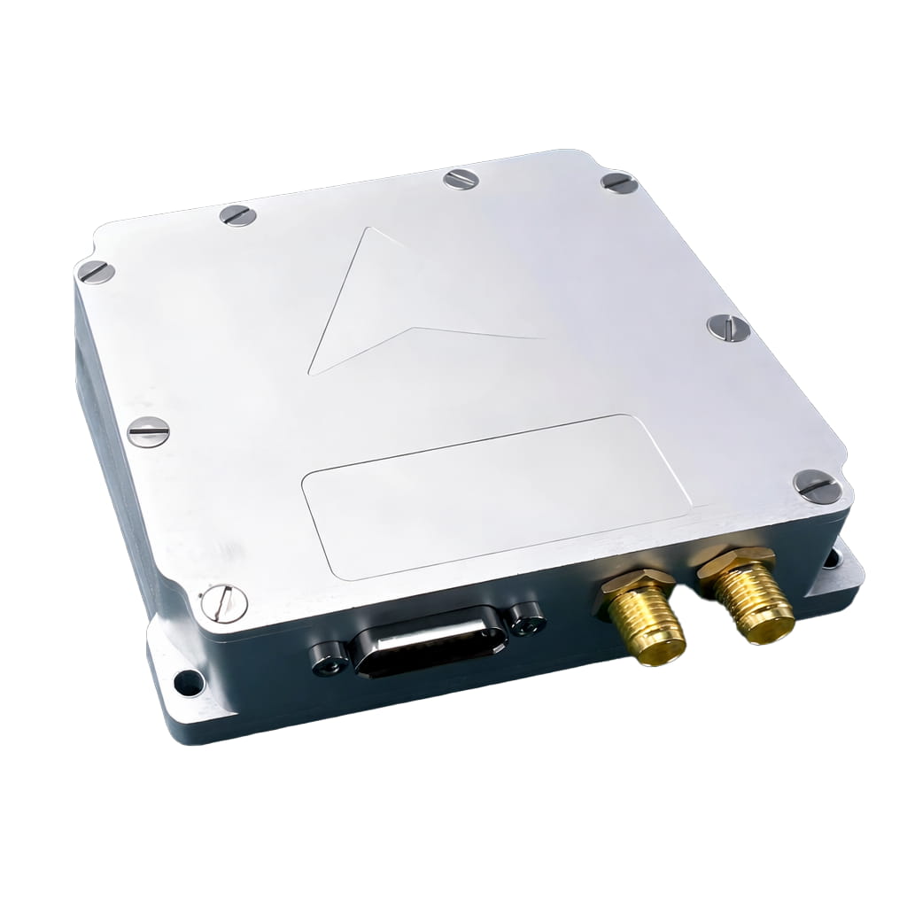
The I3200 micro-integrated navigation system is a compact and cost-effective MEMS-based integrated navigation system, primarily targeting the fields of navigation, control, and measurement represented by mobile communication and unmanned aerial vehicles. The system highly integrates MEMS sensors and full-frequency satellite receiver chips within a small size, enabling positioning and attitude measurement in a compact package.
Part No, :
I3200Order(MOQ) :
1Product Series and Parameters
| Parameter | Technical Indicators |
| Gyroscope | |
| Range(°/s) | ±300 |
| Full-temperature zero bias(°/h,3σ) | ≤360 |
| Zero bias stability(°/h,10s ) | ≤10 |
| Zero bias instability(°/h,allan,typ) | ≤3 |
| Zero bias repeatability(°/h) | ≤10 |
| Angle random walk(°/√h) | ≤0.3 |
| Scale factor nonlinearity(ppm) | ≤100 |
| Axis cross-coupling(rad) | ≤0.001 |
| Bandwidth(Hz) | ≥100 |
| Accelerometer | |
| Range(g) | ±16 |
| Full-temperature zero bias(mg,3σ) | ≤5 |
| Zero bias stability(μg,10s) | ≤300 |
| Zero bias instability(μg,allan,typ) | ≤50 |
| Zero bias repeatability(ug) | ≤300 |
| Velocity Random Walk(m/s/√h) | ≤50 |
| Scale factor nonlinearity(ppm,±1g) | ≤300 |
| Axis cross-coupling(rad) | ≤0.001 |
| Bandwidth(Hz) | ≥100 |
| Navigation Accuracy | |
| Combined horizontal position (m, 1σ) | 3m (single point) 0.02+1ppm (RTK) |
| Combined sky position (m, 1σ) | 5m (single point) 0.03+1ppm (RTK) |
| Combined horizontal speed (m/s, 1σ) | 0.1 |
| Combined skyward velocity (m/s, 1σ) | 0.15 |
| Combined heading (°, 1σ, real-time) | 0.2 (1m baseline dual-antenna) 0.5 (single antenna, dynamic) |
| Combined horizontal attitude (°, 1σ, real-time) | 0.1° (dual-antenna) 0.2° (single-antenna) |
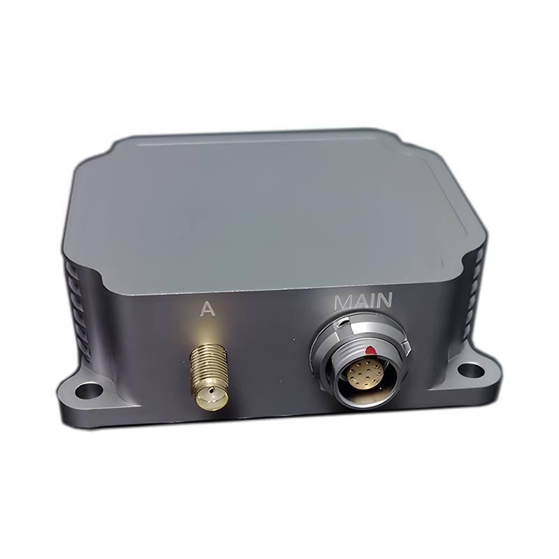
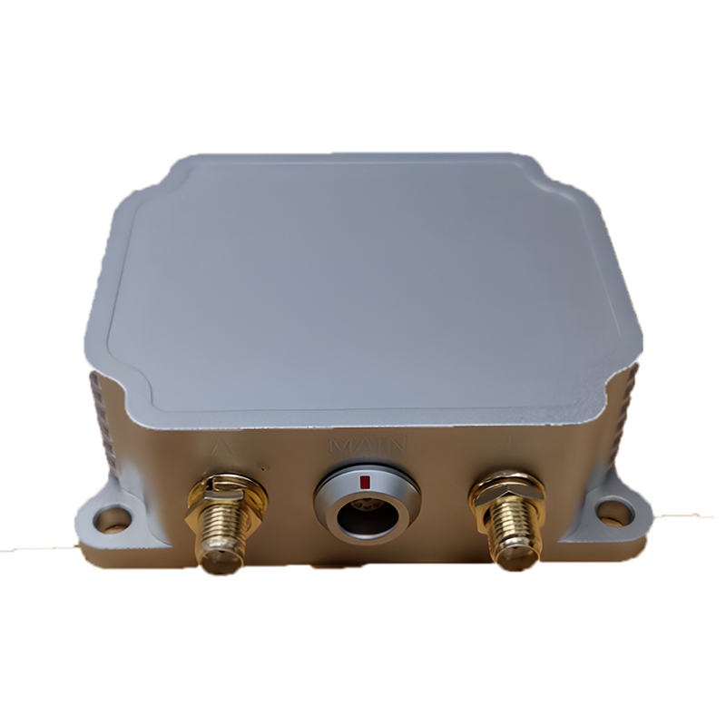
| Electrical/mechanical interface | |
| Power supply (V) | 5V |
| Steady-state power (W) | ≤0.5 |
| Startup time (s) | ≤3 |
| communication interface | URAT |
| Update rate (Hz) | 100 |
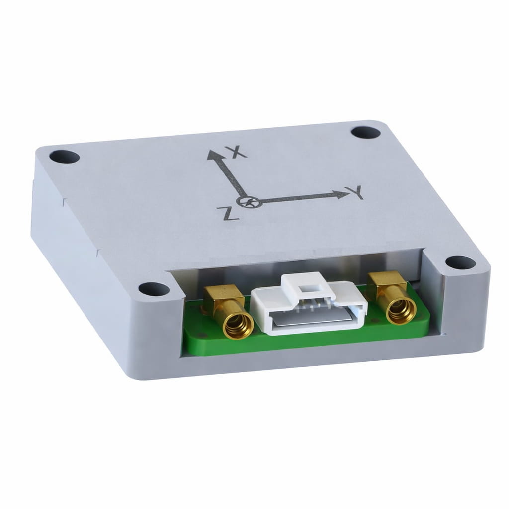
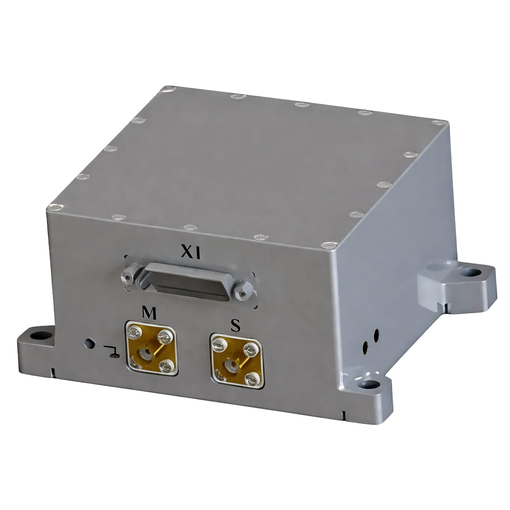
| Size (mm×mm×mm) | 41.5×35.5×9.5 |
| Weight (g) | <30 |
| Operating Environment | |
| Operating temperature(℃) | -40~+80 |
| Storage temperature(℃) | -55~+85 |
| Vibration(g,RMS) | 20~2000HZ,6.06 |
| Shock(g) | 1000g/1ms |
| Reliability | |
| MTBF(h) | 10000 |
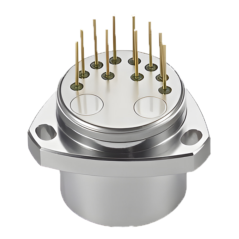
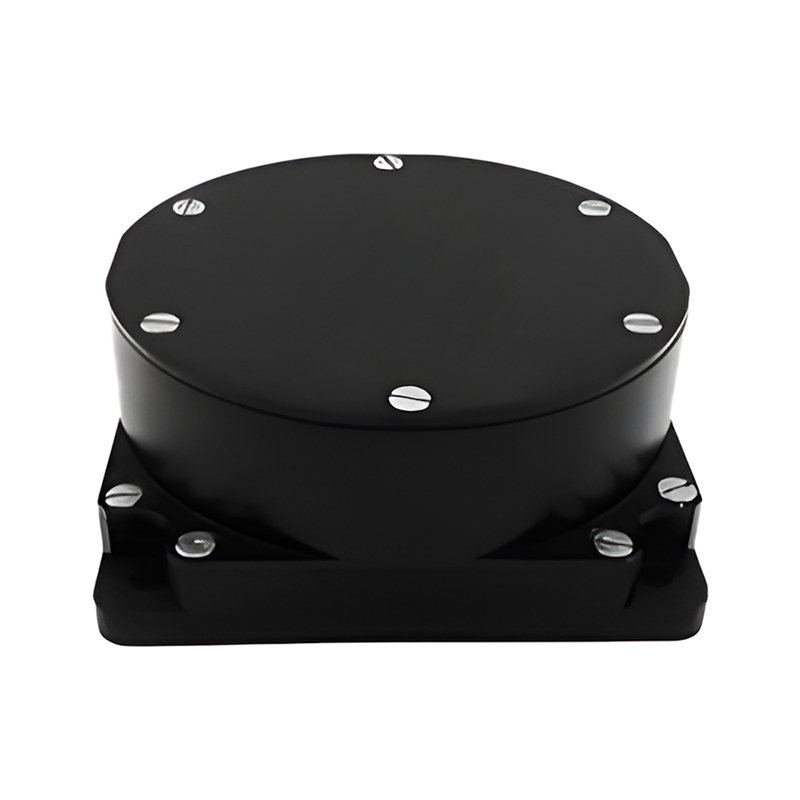
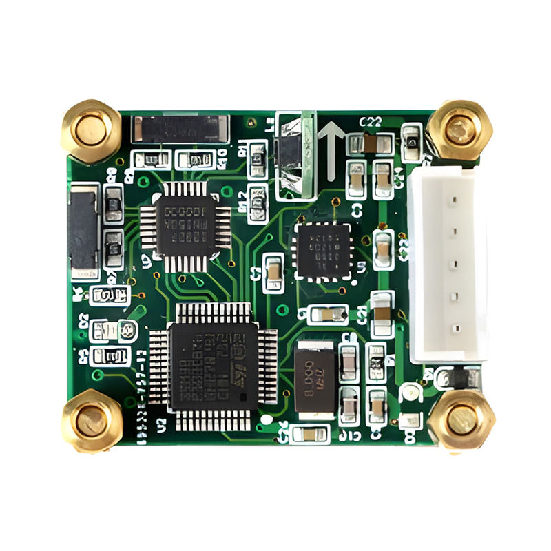
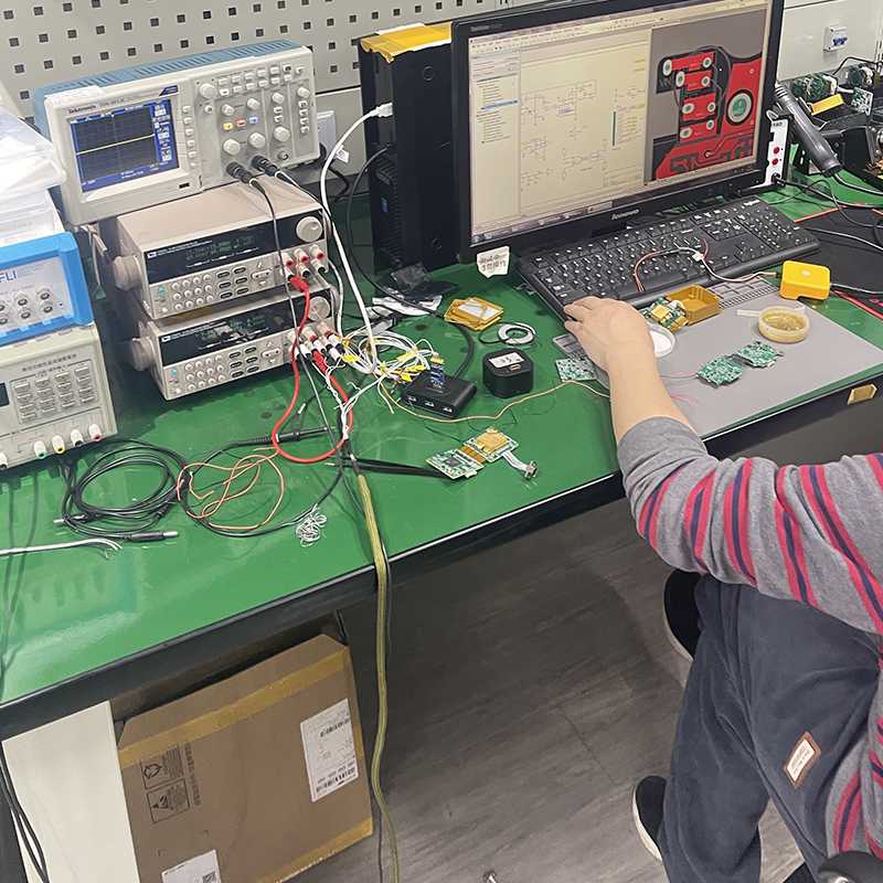
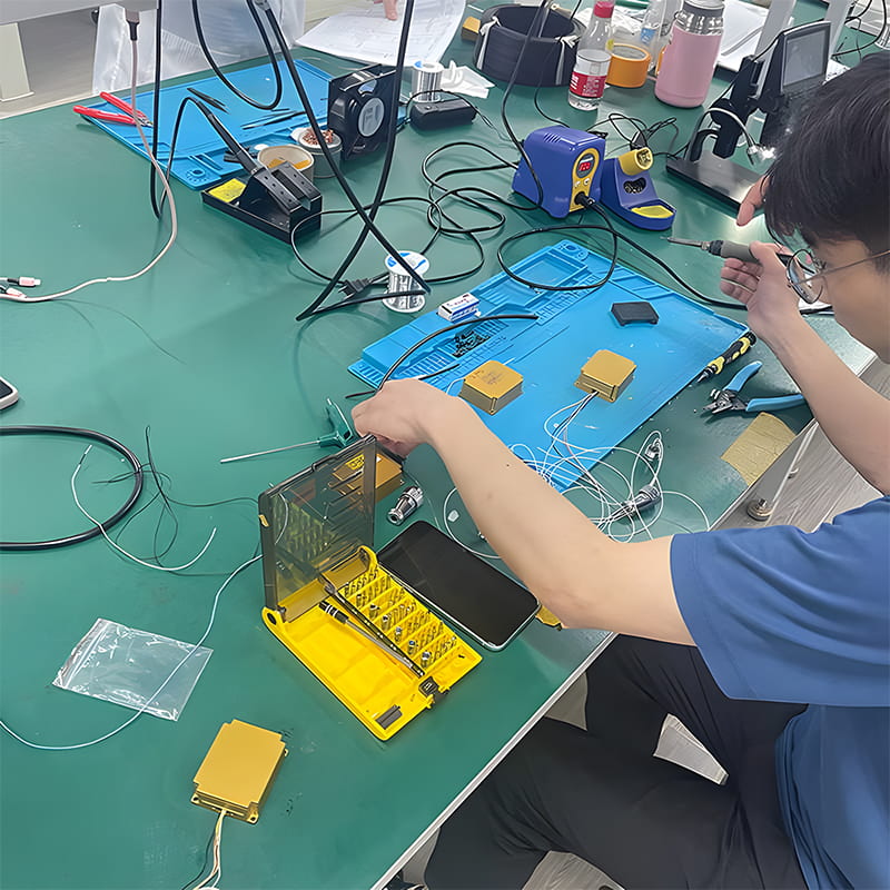
Production process
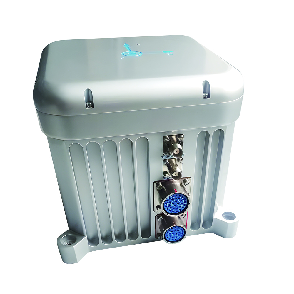
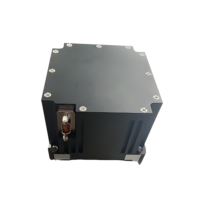
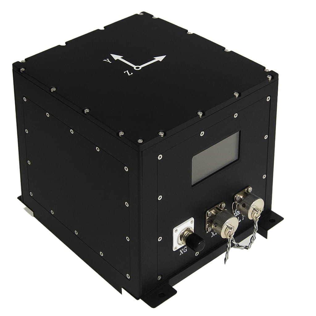
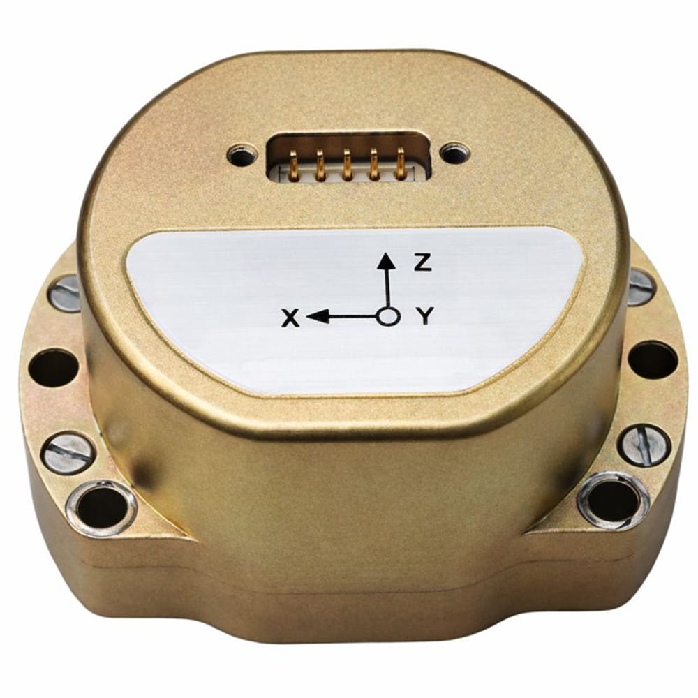
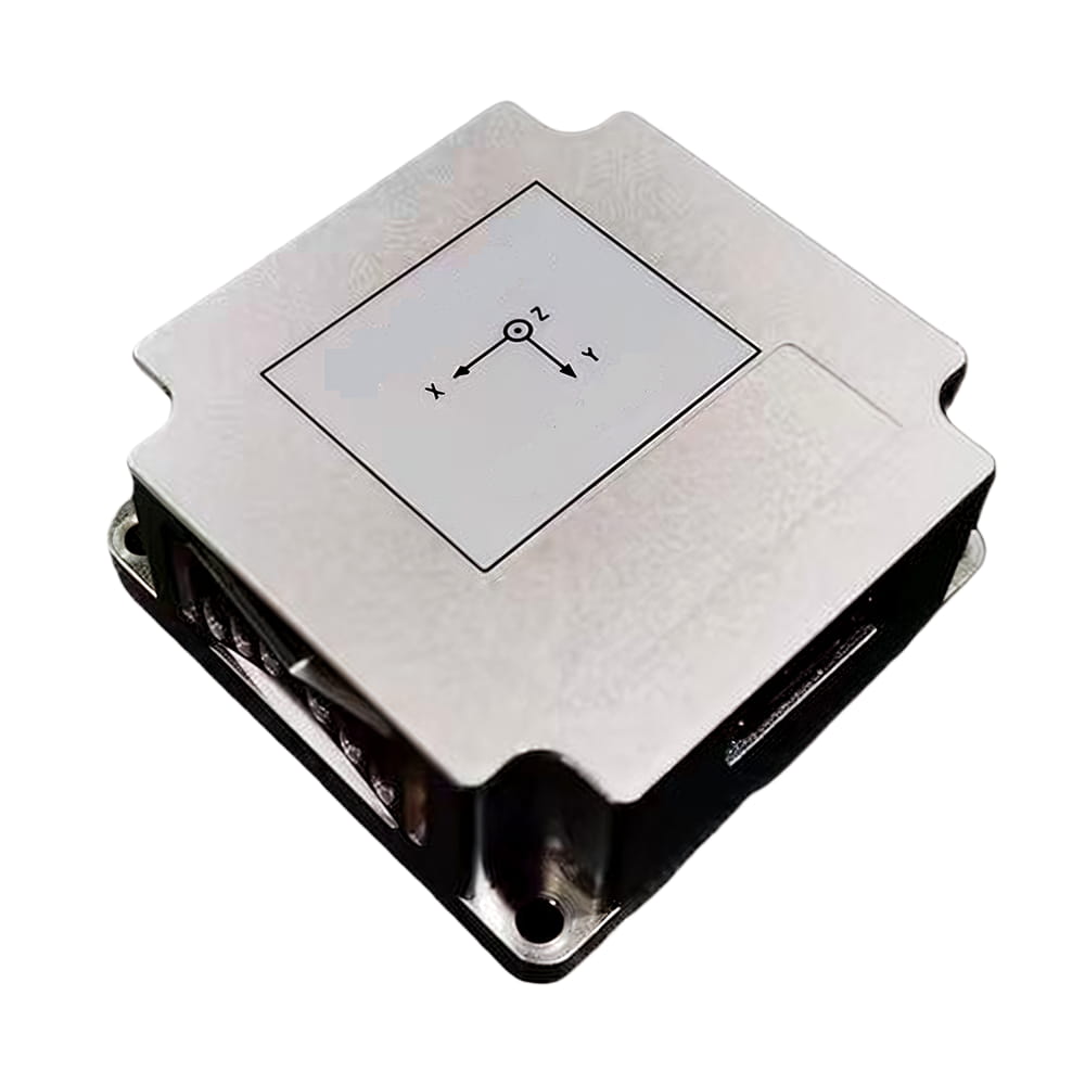
Product dimension

Application Scenarios


FAQ
Q1. What is the I3200?
I3200 is a high-performance MEMS integrated inertial navigation system. It combines MEMS inertial sensors with a full-frequency GNSS receiver in a compact design, and is suitable for navigation, control, and measurement applications.
Q2. What are the main features of the I3200?
The I3200 features high performance, compact size, low weight, ultra-low power consumption, full-temperature calibration compensation, optional adaptive attitude algorithm, lever arm compensation, software online upgrade, GNSS-denied self-correcting attitude capability, and RTK integration support.
Q3. What applications is the I3200 suitable for?
The I3200 is suitable for communication on the move, position and attitude reference for drones, vehicles, ships, and boats, attitude control, and other unmanned system applications.

Xml Privacy Policy Blog Sitemap
copyright @ Micro-Magic Inc All Rights Reserved.
 Network Supported


 English